11.17 Importing lines
|
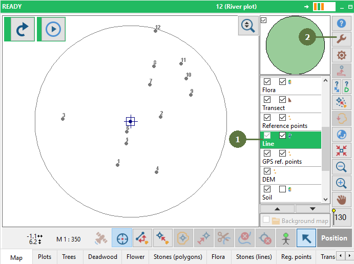
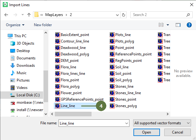
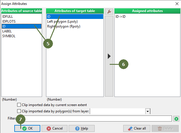
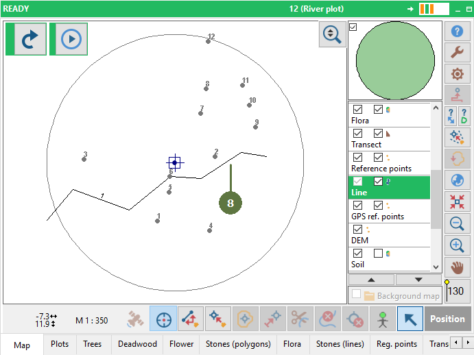
In the process of importing lines it is not the shapefile that is imported, only the information is copied to the shapefile that is already present in the project. Therefore it is not possible to add any attributes to target shapefile. Only attributes defined in Field-Map Project Manager are present and data can be copied (assigned) to those attributes from the source shapefile. Assign fields by name option If the fields that contain attributes have identical names both in Field-Map and the imported file, it is possible use this option to assign the fields automatically Import formats You can import lines from ESRI shapefile, ArcInfo coverage, DXF, DGN, DWG or GPX files. Importing of GPX files (the GPS Exchange Format) It is possible to import GPX files and then use the Show vertical profile function. Multi-line support Although Field-Map does not directly support multi-lines, it allows you to import them and continue working with them as multi-lines. If multi-lines are enabled for the line layer (the layer option "Allow-multilines" in Project Manager) multi-lines from the line shapefile are imported as multi-lines. If the option is not enabled, the multi-lines are split into individual lines on import. |
|