3.2 Type of plots
It is possible to create plots of any shape. The shape and area is defined when establishing the plot. There may be plots of different shapes and sizes in one project. The only exception is a project where you have defined a set of circular plots in Field-Map Project Manager.
Circular plot
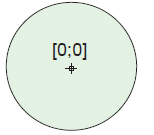
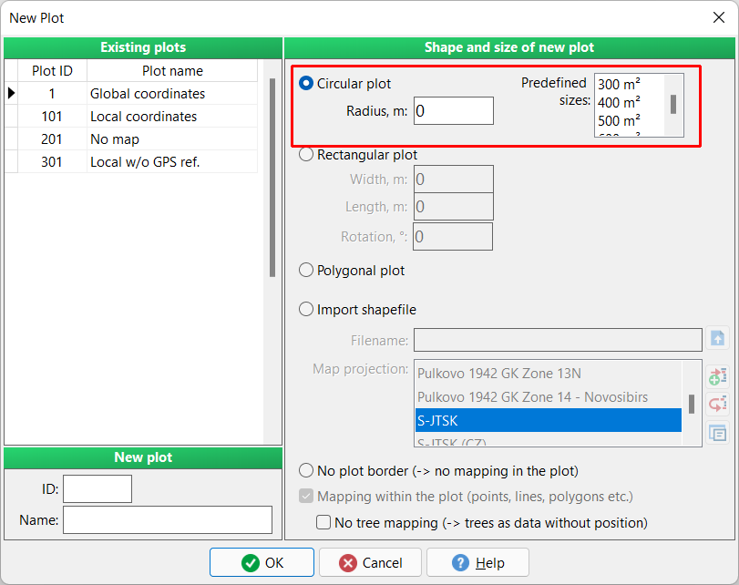
Either enter the desired radius or select a predefined size from the list. The origin is always in the middle of the circle.
Rectangular plot
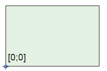
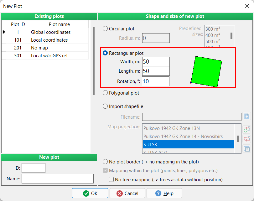
Enter the width and length of the plot. The origin is automatically set to the bottom left corner of the plot. Optionally set a rotation of the plot.
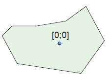
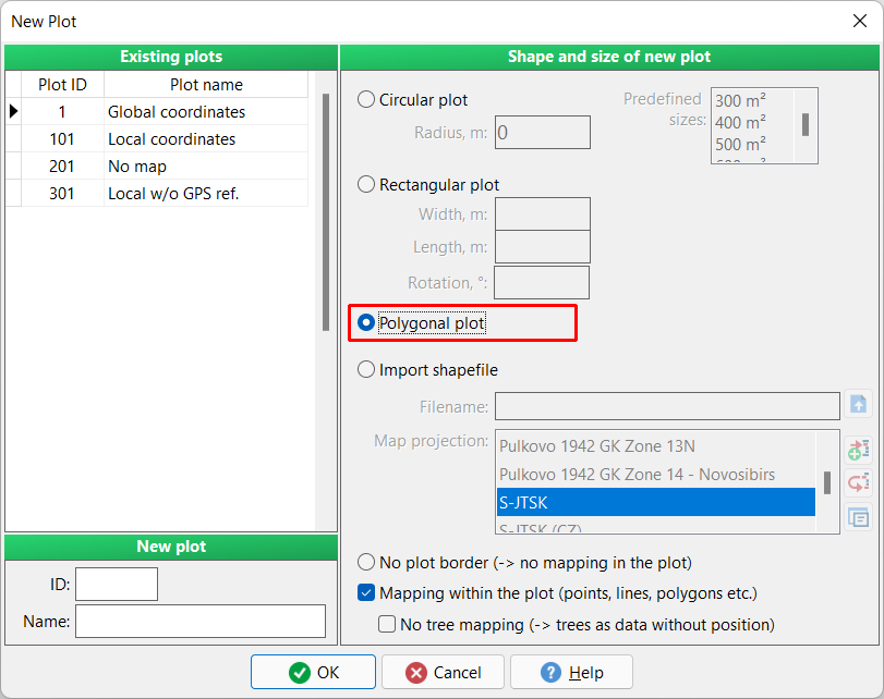
Polygonal plot
Plot of a general shape. The shape is supposed to be laid out in the field. Plot can be represented by a single polygon or even by multi-polygon.
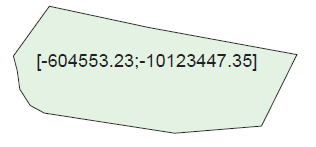
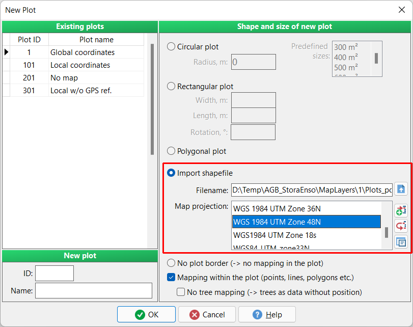
Import shapefile
Plot of general shape. Shape is imported from an existing shapefile. The plot can be established either in local or global co-ordinates. It is necessary to define the co-ordinate system for the plot. The origin is automatically set to the center.
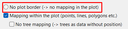
No plot border (-> no mapping in the plot) Special case of data collection where no geographic reference of the collected data is needed. Data collection is carried out without mapping.
With Mapping within the plot it is possible to switch-off all map layers (GIS layers) except plot border. All other data is collected without geographic representation.
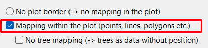
If activates No tree mapping, all map layers (GIS layers) are collected with geographic representation, except the Trees layer.
