15.2 Adding a new transect
|
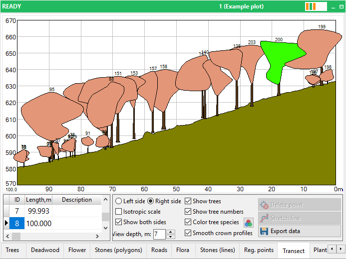
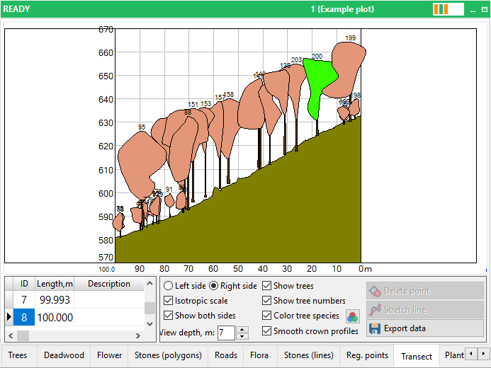
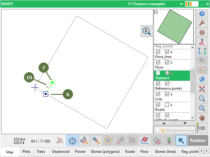
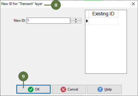
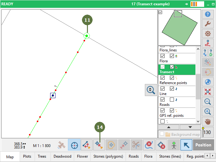
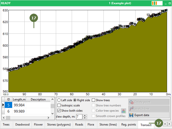
Transect is used for the visualization of vertical tree crown profiles. First measure the transect line across the plot (terrain profile). Because crowns usually overlap the borders of a plot we recommend you measure the transect with overlaps on both sides. After that you have to walk along one side of the transect line and measure the vertical crown profiles of trees on the other side of the transect. Measure all trees which fall inside the buffer distance defined by depth of view. Finally switch to the transect form and set the view parameters to display the trees in the transect view. Note: You can switch the prompt for ID on or off in the Settings. “Isotropic scale” option Field-Map can visualize transects in two modes: Isotropic is proportional, both axis have the same scale. This mode is for displaying trees and tree crown profiles in a realistic proportion. Unisotropic is not proportional, the elevation axis is magnified. This mode emphasizes the terrain profile on the plot.
Unisotropic view
Isotropic view |
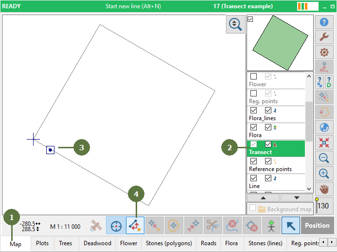
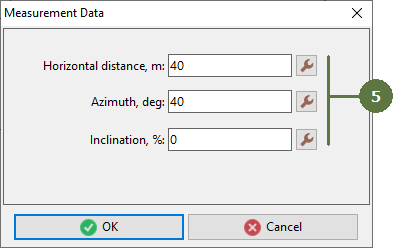
Note: For layer Transect does not allow pen mapping. Use measurement in terrain (laser, GPS) or use Input data from keyboard function, see Settings
|