|
Adjusting raster georeferencing
If you are confident about your position measurement and you think that the raster is not georeferenced properly, you can shift the raster in the field. For example: There is a large stone on the river bank which you can see in the raster image, but after you measure the stone’s position by GPS the point is placed somewhere else on the map. In such cases you can use the Adjust Raster Georeferencing function.
Note: To work correctly, Windows system decimal separator has to be set as a dot.
|
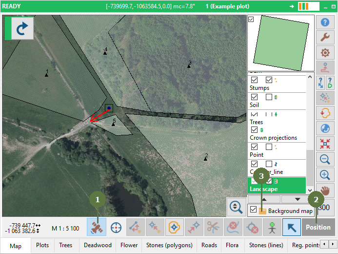
- Click Use GPS for mapping button
- Click the Position button
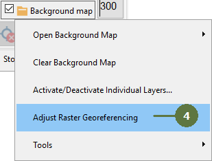
- After position acquisition click Background map
- Click the Adjust raster georeferencing menu item
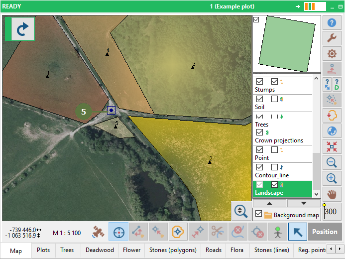
- Click on the map to move the raster
|