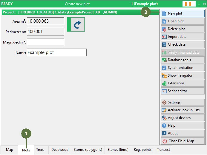
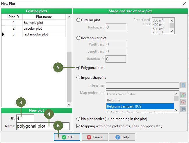
3.5 Establishing new polygonal plot
|
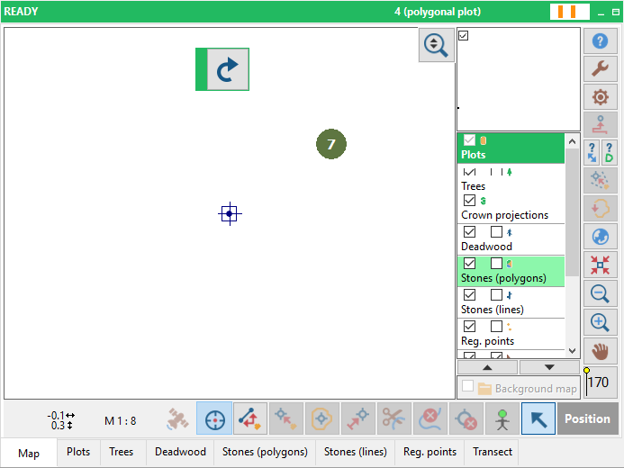
If you establish a polygonal plot, a blank map sheet with a center point appears in the map. Field-Map Data Collector expects the shape of plot borders to be either entered by laser equipment or GPS or defined virtually through Field-Map Data Collector mapping tools using the keyboard. The polygonal plot can be of any shape and size. |
|