17.7 Positioning using Click-to-Map Point(s)
|
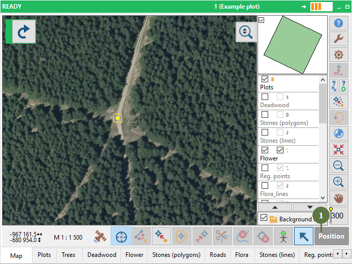
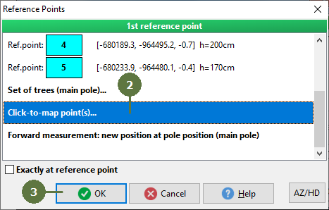
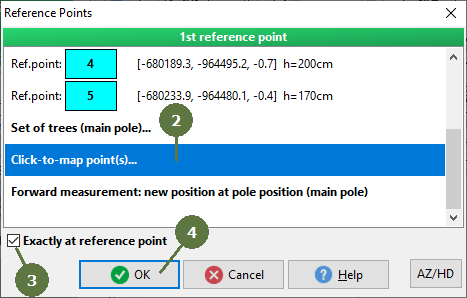
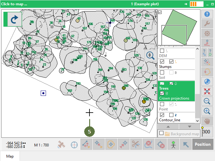
Positioning using Click-to-Map Point(s) This method is suitable for plots where there is a possibility to identify clear point(s) such as crossroads, building corners, etc. This positioning procedure allows: 1. To find an operator’s position by selecting proper points(s) in the map followed by measurement of their position 2. To calculate correction of magnetic declination (see the chapter “Repeated positioning using trees”) Note: If you are not sure about correct magnetic declination you can let Field-Map to calculate an azimuth correction. In this case it is recommended to set the value of magnetic declination to 0 (in the electronic compass and in Field-Map settings). Keep the check box of azimuth correction active. When the positioning is finished it’s recommended to set the calculated correction to a electronic compass or Field-Map Settings for future mapping. This method is usually used in combination with high resolution aerial/satellite image where your position can be easily determined in terrain and map. Note: When using this method the new position does not have the Z coordinate assigned. Position of any entity (tree, etc.) measured from the position acquired by this method lacks the Z coordinate as well. |
Method A
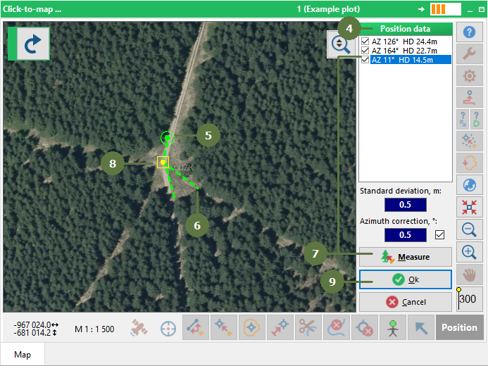
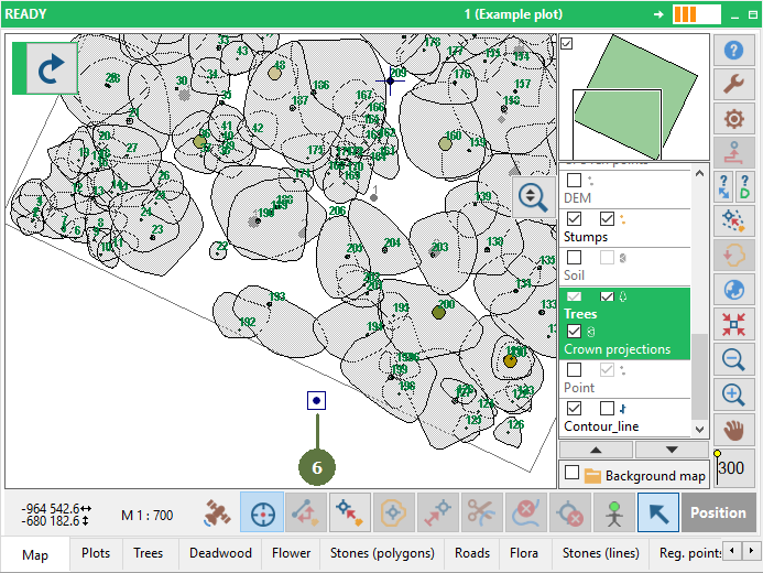
Measure distance and azimuth to the selected point
Field-Map calculates a standard deviation when at least 2 points are measured. Field-Map calculates an azimuth correction when at least 3 points are measured. Azimuth correction can be switched OFF and measured position will be recalculated. Method B
|