17.8 Positioning using angle encoder
|
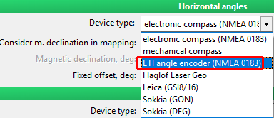
It is advised to use angle encoder instead of compass devices under risk of higher magnetic interferences. It could be for example urban areas, industry zones, certain geological conditions. Every device that is not receiving azimuth (absolute angle) needs to be used as angle encoder (e.g. LTI TruAngle, total stations etc.). Set the device in Settings->Equipment->Distance and angles->Horizontal angles
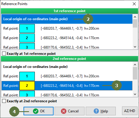
Establishing plot measurement Using angle encoder it is always necessary position your equipment against 2 reference points instead of just one compared to electronic compass. In exchange you get better angle precision. Apart from local origin of coordinates it is necessary to have at least one more point to obtain correct bearing. There are few ways to do that:
|
- Aim at the reflector located on the pole at 1st reference point and later at the 2nd reference point (this step corrects bearing relative to the north and sets position according to reference points |