|
“Distance using Position“ mode
This mode is very effective on plots where conditions allow you to see and measure several trees from one place. First you need to have all tree positions. After taking your actual position you can measure the attributes of all the visible trees without measuring the distance to them.
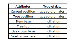
Measured system attributes
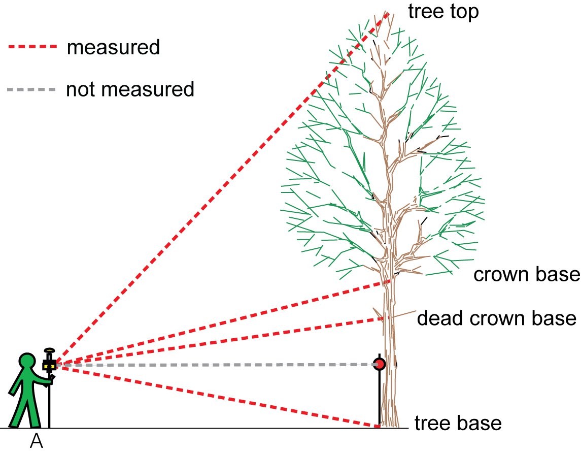
Sequence of measurement
Each measurement mode requires a different sequence of measurements. Depending on the selected measurement mode, Field-Map automatically switches between buttons to guide you through which operations to follow.
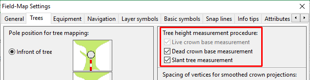
Turn on / off Live crown base, Dead crown base and Slant trees buttons
In the Settings / Trees you can tag / untag buttons for measurement
|
Before editing any attributes of the tree its position must be known
Find a place from where you can clearly see as many trees as possible and take your position
- Switch to the Trees form
- Select the tree to which you want to add attributes
- Click the Mode button
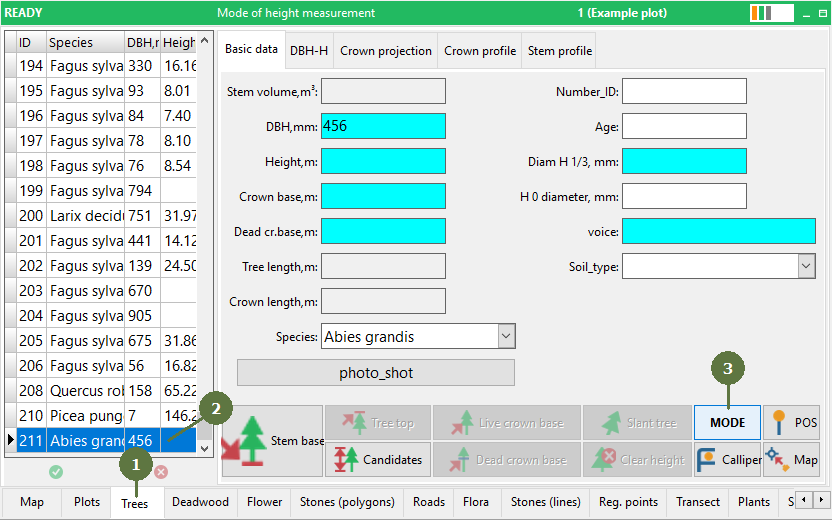
- Select the Distance using positioning mode
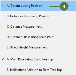
- The control panel might change its appearance

- Click the Stem base button. Aim at the tree base to measure its inclination

- Field-Map automatically switches to the tree top measurement
Aim at the tree top to measure its inclination

- Field-Map automatically switches to the live crown base measurement
Aim at the live crown base to measure its inclination

Note: If you do not have the Live crown base button visible then go to the Settings / Trees and tag a option Live crown base measurement. See left green column
- Field-Map switches to dead crown base measurement
Aim at the dead crown base to measure inclination

Note: If you do not have the Dead crown base button visible then go to the Settings / Trees and tag a option Dead crown base measurement. See left green column
- Check the measured data
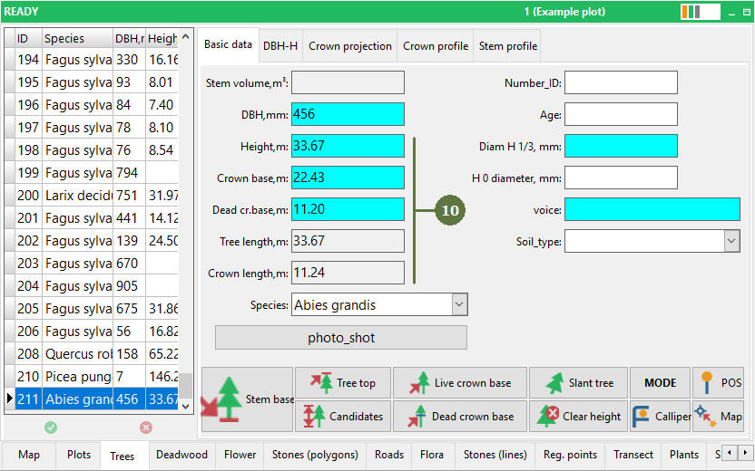
Note: Crown base is live crown base
|