14.1 Adding deadwood
|
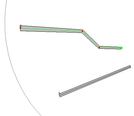
Not all deadwood are straight logs. There may be changes in the angle at which the tree bole has grown. These can be displayed in Field-Map by using breakpoints. Position of each breakpoint must be measured from the lengthwise axis of the deadwood because half of the diameter is added on each side when creating the deadwood shape.
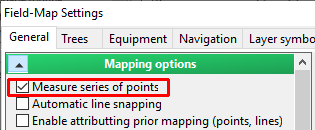
To measure deadwood with more breakpoints, select the option “Measure series of points” in Settings.
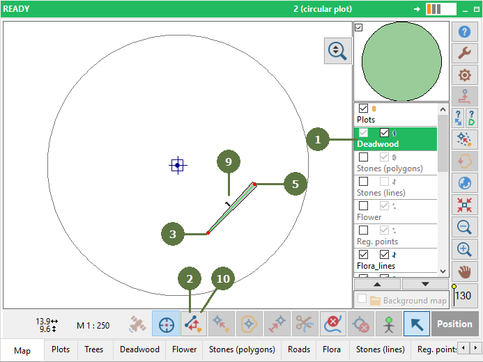
Editing deadwood In the map deadwood is represented by a line. Consequently deleting a point, adding a point etc. follows the same approach as editing a line. Note: You can add deadwood by laser, GPS, pen or keyboard |
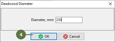
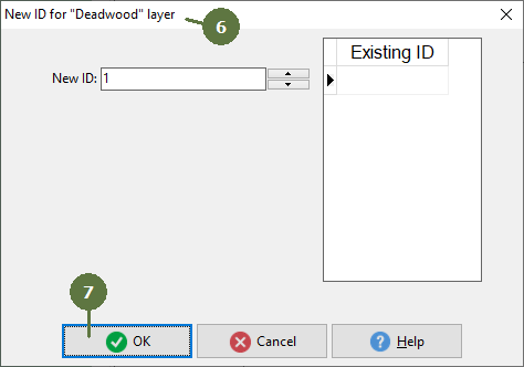
Note: This window appears only if you check New ID prompt in the Settings, see chapter General settings
|