12.2 Polygonization
|
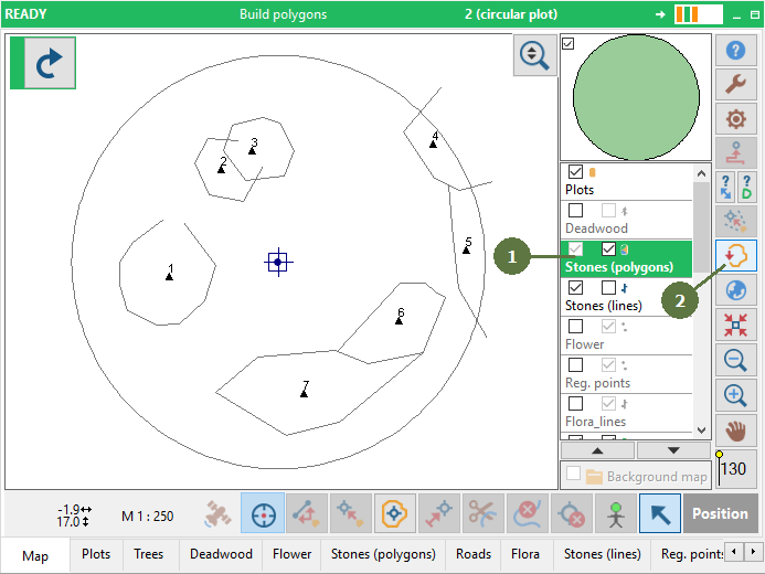
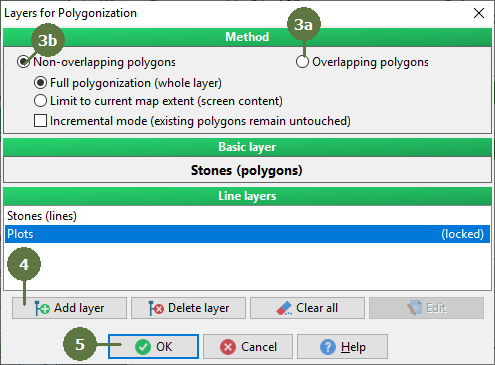
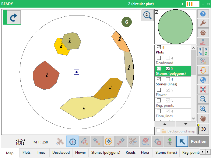
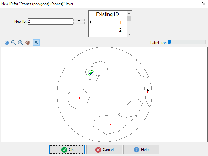
A polygon consists of border lines and a centroid (point). Lines must be closed which means that the first and last point must be in the same position. This condition is never achieved by measuring in the field and therefore lines must be additionally closed by the polygonization routine. Polygonization requires border lines and centroids to be present in the polygon layer. Field-Map supports overlapping and non-overlapping polygons method. It is possible to create backup before polygonization. Add or edit polygon centroid value This function allows to add and change polygon ID. Make sure that „Prompt for new ID“ (see settings) for proper polygonal layer is active (for centroids it can be (un)tagged also from Settings of Poly-Shape window) . When you click the „Add centroid” or double click on centroid a key map appears. The key map shows lines of all layers and centroids of active layer. You can use the map for changing polygon ID by typing a new value or by selecting value from the map or from list of used polygon IDs. This function is used for multipolygon creation. You can adjust label size for current zoom window. Centroids are always displayed on top of map composition. Remain visible when viewing any polygon layer. Active polygonal layers are colored. It is possible to drag and drop each centroid.
|
A)Non-overlapping polygons method Note: Settings for polygonization method are remembered for each layer separately
Key map. If you double click on a centroid in the map (polygonal layer) then will appears key map window You can change an ID centroids. If you set ID who exist then you create a multiple polygon |