17.10 Adjusting bearing of angle encoder
|
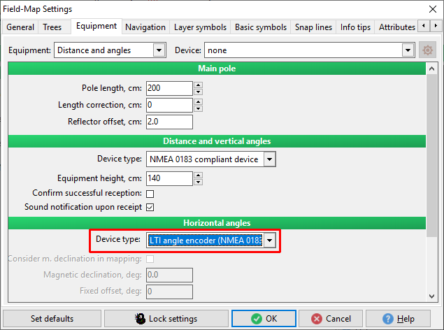
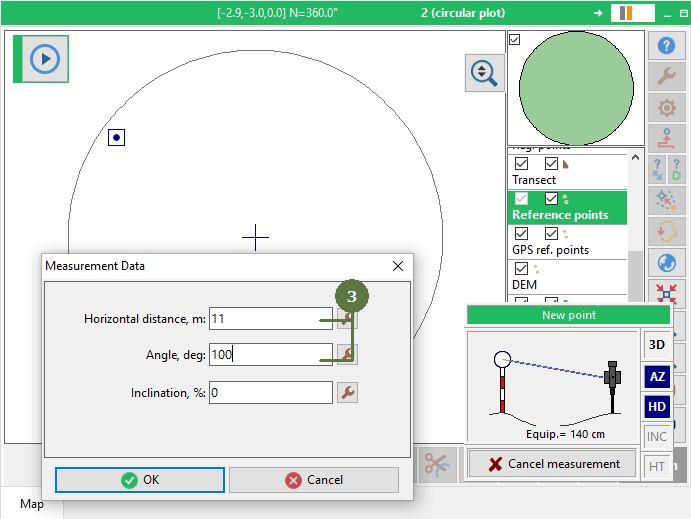
It is possible to measure without knowledge of correct azimuth adding random reference point. Relative distances of measured entities will be correct but whole plot will be rotated against geographical north. In the Settings have to be select a Device Type - LTI angle encoder.
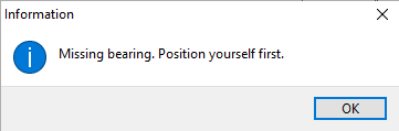
You have to set your position, before you will measure a point. If you do not set a position you will receive
|
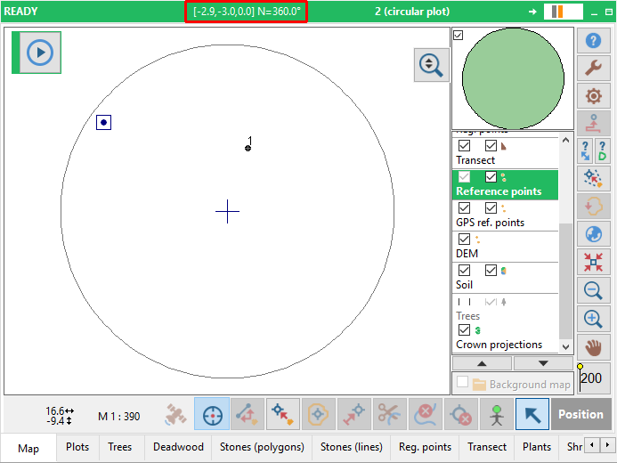
Coordinates of position with corrected bearing are visibled in a red rectangular if you put mouse (cursor) on a position button |