10.2 Adding points
|
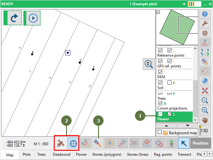
To add a point to the map you may use any of these tools / methods:
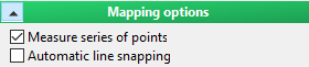
Measure a series of points While this option is enabled in settings, Field-Map is able to measure several points one after another using laser, pen or keyboard. This way you do not have to click “Add point” button prior to adding each new point (this function also works for adding points on lines, polygons and deadwood).
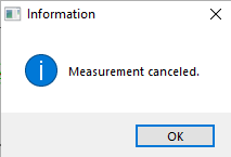
To stop adding points click the “Add point” button again and confirm the “Measurement canceled” message.
Precision To increase precision, you can re-measure one point several times. You can define the number of re-measurements for a new point in settings. If a measurement is too far apart from the others, it will be rejected from the position calculation. There must be at lest two points close enough to calculate the point’s position, otherwise the position measurement is canceled. |
|