13.12 Tree position validation system
|
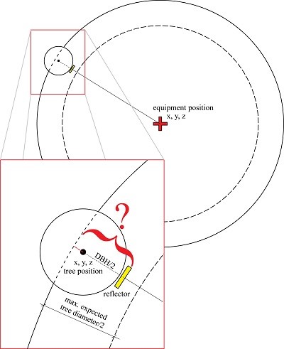
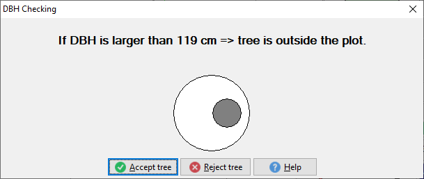
During field measurement, Field-Map automatically checks tree positions in relation to the plot border. Trees which fall outside the plot are immediately distinguished and proposed to be omitted. This procedure is rather simple if the tree diameters are known at the moment of tree position measurement. However, often the trees are mapped before downloading the diameters from the electronic calliper. For such situations Field-Map offers advanced functionality. Upon the measurement of the tree position you get a warning in case there is a realistic possibility that the center of the tree will fall outside the plot. |
In addition to the basic validation procedure to see if points fall outside the plot, Field-Map provides you with an extended tree position validation system for circular plots.
Field-Map calculates the maximum acceptable diameter of the tree.
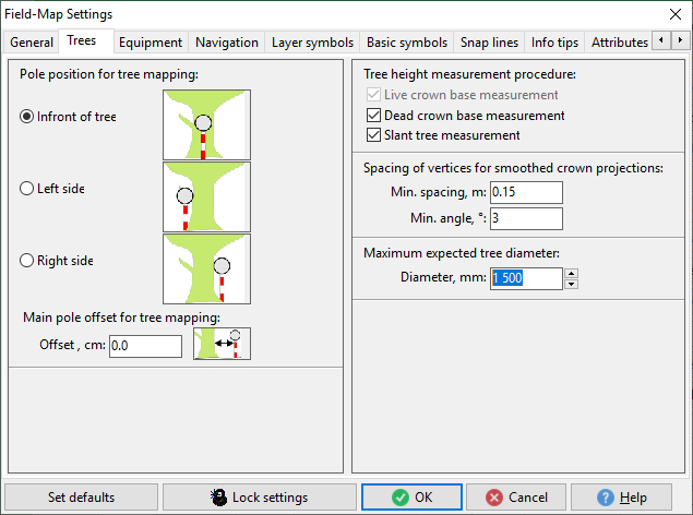
If the diameter is not yet known and the measured position falls inside the defined zone, you will get the above message. Set the “Max. expected tree diameter” value before starting to measure tree positions (see Settings). In the example the maximum expected DBH on the plot is 150 cm. By using the maximum expected tree diameter, you can specify a zone along the border where the possibility of outliers will be screened. Min. spacing of vertices allows to set spacing of vertices for smoothed crown projection.
Field-Map Data Collector settings window ... Trees form |