10.17 Range triangulation
|
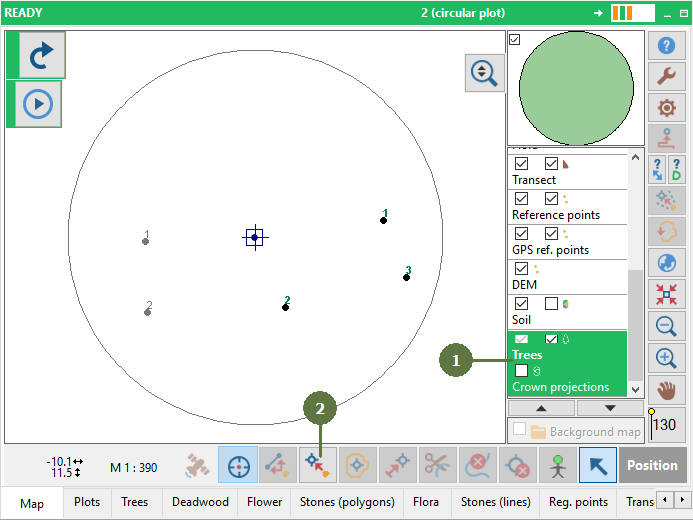
Range triangulation is a alternative method of mapping. This method does not use azimuth. Only distance and inclination measurements are considered. This method requires at least 3 known points/ trees on the plot. To run the triangulation method, tag the option “Range triangulation” in General settings.
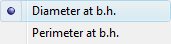
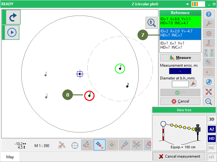
When the third measurement is received, Field-Map calculates the measurement error. If the error is smaller than 0.3 m and the DBH value (for tree mapping) is inserted, Field-Map activates the OK button for saving a new point/ tree position. This method is suitable for work on repeated measurements. Where on the plot already exists points/trees useable for other mapping. Suitably when using devices not supporting azimuth, such as electronic rangefinder. For DBH input of tree Field-Map supports the following options:
The range triangulation method also works for positioning and reverse measurement (see the chapter: Adding a point by laser using reverse measurement, Positioning). During the triangulation procedure, all point/tree layers are available and can be combined. Selected point/tree can be changed or remeasured and by pressing the “Measure” button you can continue with the procedure. When this method is used, FM considers: •Main pole offset for tree mapping (see picture, offset a.) •Reflector offset (see picture, offset b.) •Equipment height (see picture, offset d.) •Pole length (see picture, offset c.) •Pole position for tree mapping (you can use method (i) “in front of tree” or (ii) “left or right side” •Meridian convergence when the plot is in global coordinates system
|
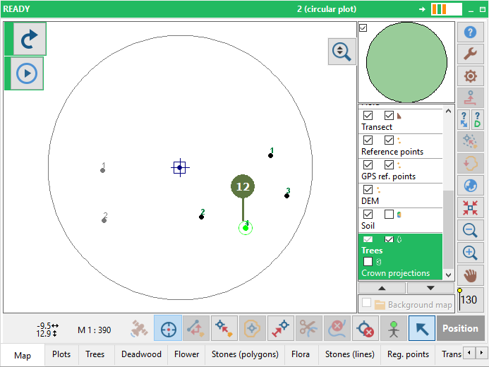
You can get an error measurement window
or
|